|
Forest Inventory
Delta Aerial Surveys has a full range of forestry mapping services to accommodate both government agencies and private forestry companies with the information needed to conduct logging and reforestation practices. Our services include:
- Timber Typing - Photos are interpreted by height, species, crown closure, and site classification. These boundaries are inked onto the photos to be captured as like-type polygons. Sample - 700 kB GIF
- Species Classification - Using photography and existing data, a classification code can be generated to label the polygon either to MOF Forest Cover Attribute Process specification, or various private sector specifications.
- Polygon labeling - Polygons are assigned attribute links to database label files for display and theming purposes. This can be thematically displayed in map format, and is easily updatable.
- Inventory Models - To complement your forestry mapping, we offer detailed forest cover visualization modeling incorporating typed polygons with attribute data and a Digital Elevation Model. Viewscapes and even Fly-Through animations are produced through unique processing to create pictures of existing or proposed site utilization, including detailed modeling of site regrowth. These models can be a very useful tool when assessing buffer areas and other sensitive issues.
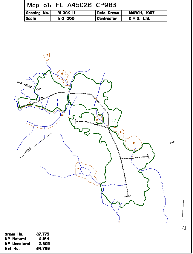
- Reforestation - Using aerial photos to map cutblocks for replanting provides more detail and often a lower cost than GPS. Sample - 16 kB GIF
|