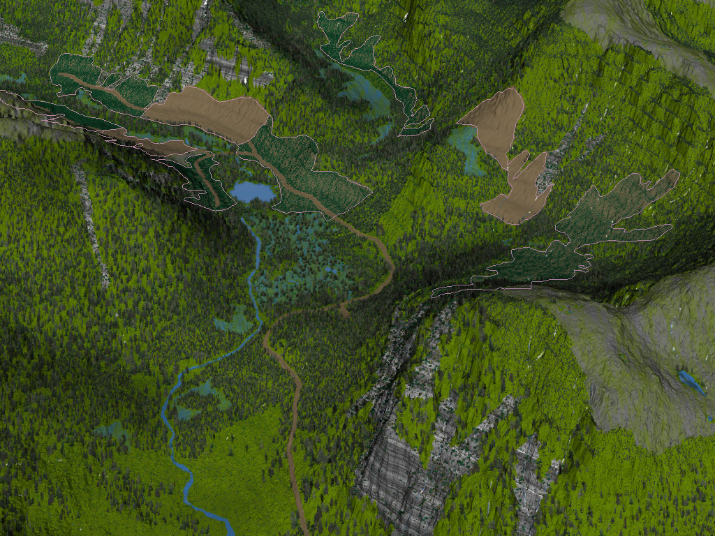
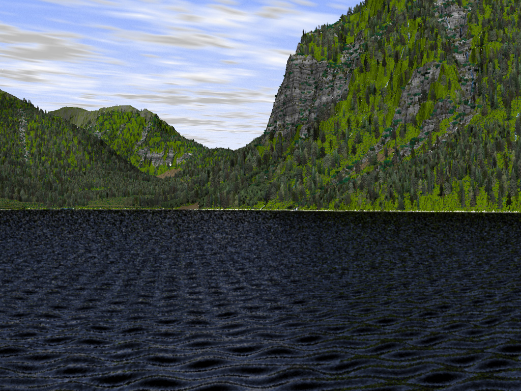
Viewscapes
Viewscapes of proposed forest cover and landscaping changes can be generated from existing mapping to aid in land use planning. These images were generated from a combination of MOF FC1, TRIM, and our own 1:5000 operational maps. The proposed cutblocks, landings, and roads were provided by the customer as a CAD file.
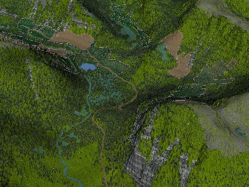
Aerial View of Proposed Cutblocks

Water View of Proposed Cutblocks