Photogrammetry
Photogrammetric data capture is our primary mapping source. We offer a complete range of services including:
- project assessment
- aerial photography
- ground control layout
- photogrammetric block preparation
- analytical aerotriangulation
- PATB bundle adjustments, including airborne GPS
Modern equipment is essential to fulfill the increasingly complex needs of our clients.
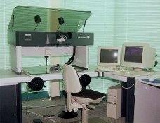
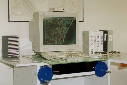
Zeiss P3 Analytical Stereoplotter KLT Softcopy Stereoplotter