Digital Cartography
Delta Aerial Surveys has a full range of mapping services to accommodate both government agencies and private companies.
We have provided digital maps for many fields, including:
- Forestry - both operational and MOF inventory
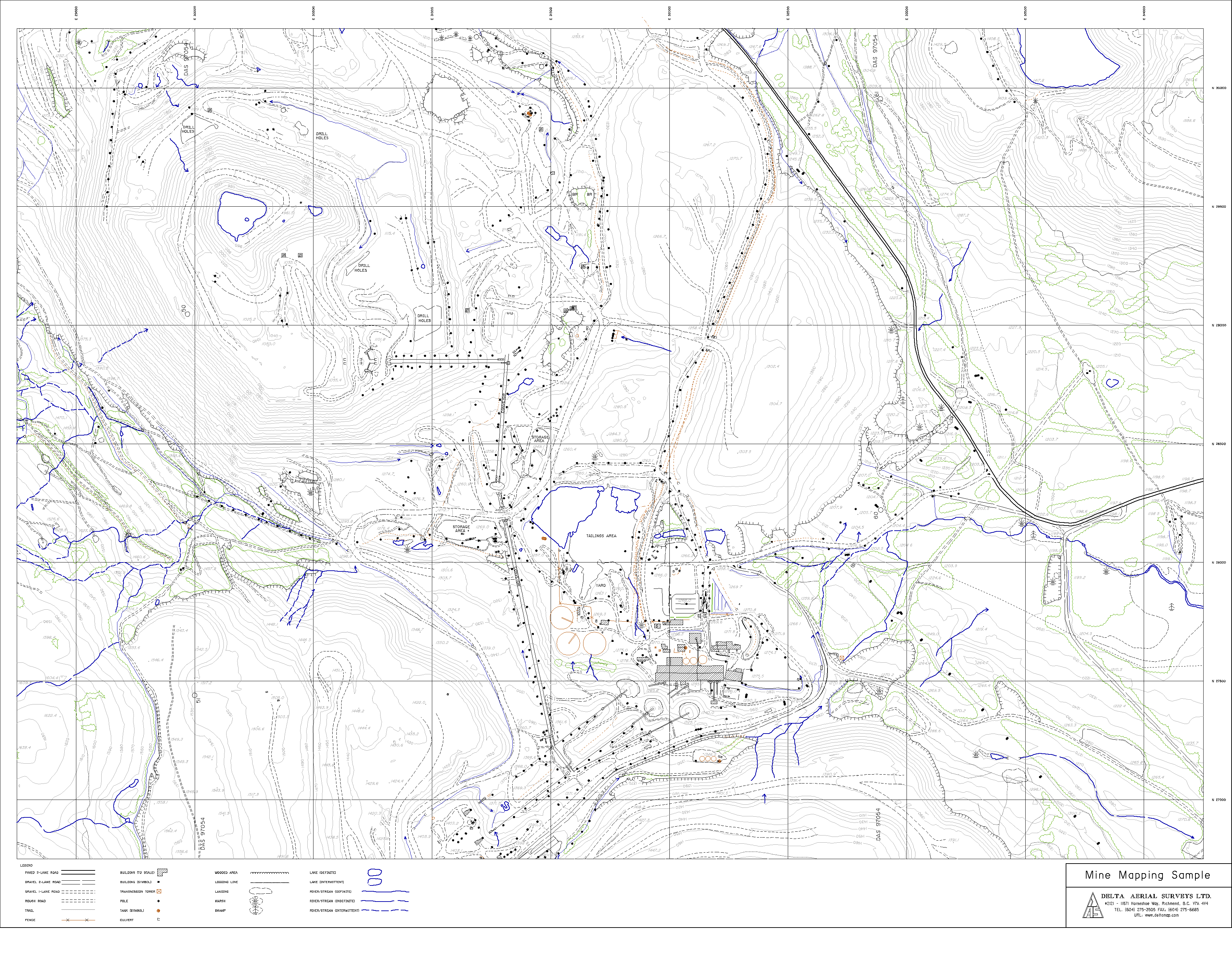
- Mining Sample - 572 kB GIF
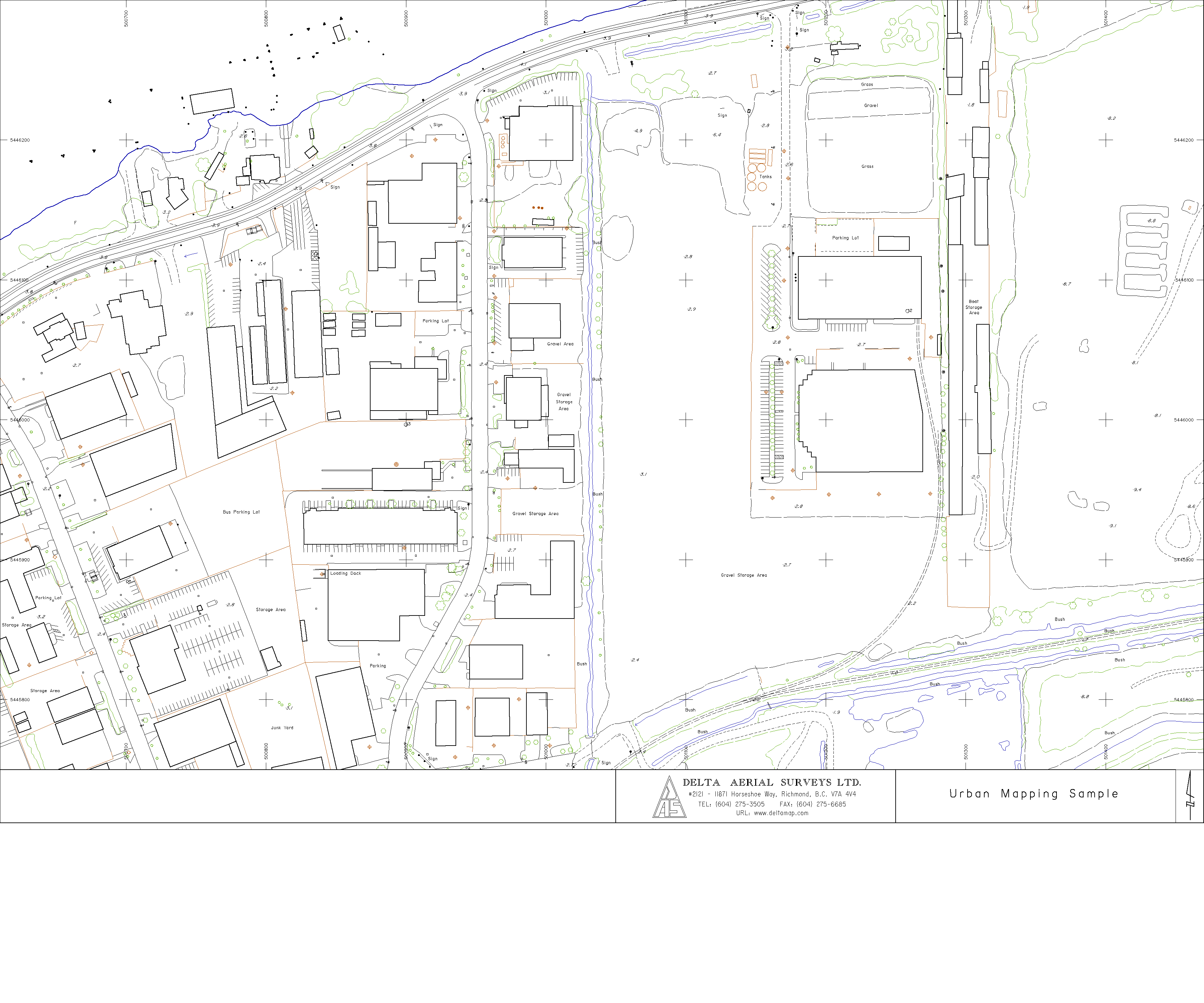
- Urban Sample - 234 kB GIF
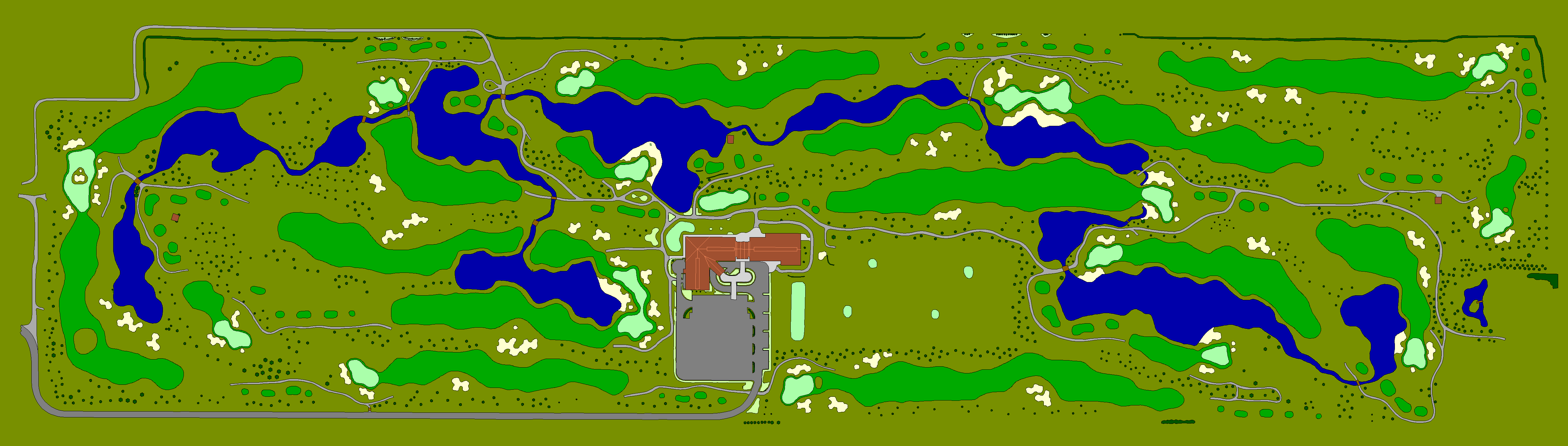
- Golf Courses Sample - 189 kB GIF
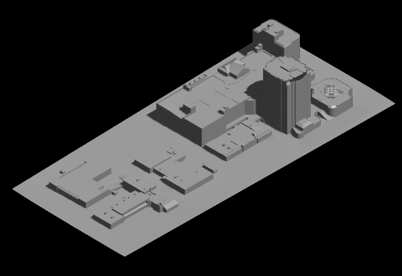
- Architectural Modeling Sample - 30 kB GIF
We also support a wide variety of mapping software:
- Intergraph and Microstation DGN
- Autocad DWG and DXF
- Mapinfo MIF and TAB
- British Columbia Ministry of Environment MOEP and SAIF
- ARC/INFO Shape and E00
- Terramodel
- ASCII
- Microsoft Excel
Hardcopy up to 36' x 48' can be provided on paper or mylar.