Delta Aerial Surveys Ltd., Your Digital Mapping Specialists
Tel: 604-275-3505     
Fax: 604-275-6685      
Email: mail@deltamap.com  

Delta Mapping Home Page
Photogrammetry -

Gathering environmental and land data

through the use of aerial photography
Cartography -

Creating digital maps for a 

wide variety of software
Orthophoto - 

Creating scaled photo maps 

from aerial photography
GIS - 

A system to capture, manipulate, 

and analyze geographical data.
Viewscapes - 

Photorealistic environmental

rendering for planning purposes.
Custom or off the shelf

aerial photography.
High resolution precision scanning 

of photogrammetric imagery.
Free Sample CD
Employment  

Scanning

Using our Vexcel 5000 scanner, we can scan negatives, diapositives and prints to a resolution of 5 µm in 12 bit greyscale or 36 bit color.

Click for Larger Image

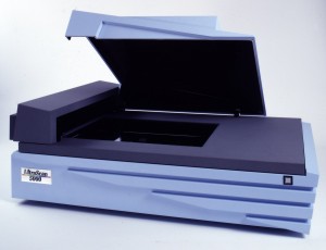
          Vexcel VX-5000 Photogrammetric Scanner

Images can be delivered compressed or uncompressed in a variety of formats, including TIFF, JPEG and ECW; on CD, tape or DVD.

Click for Full Size Image

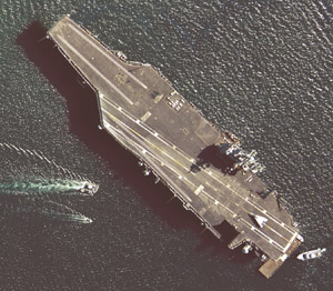
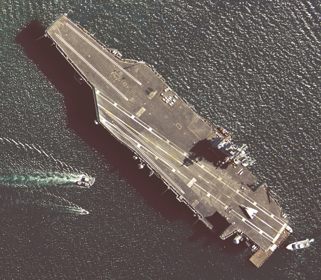
CVN-72 Abraham Lincoln off Victoria, British Columbia

  Large image: 30 µm scan from 1:10,000 aerial photo